

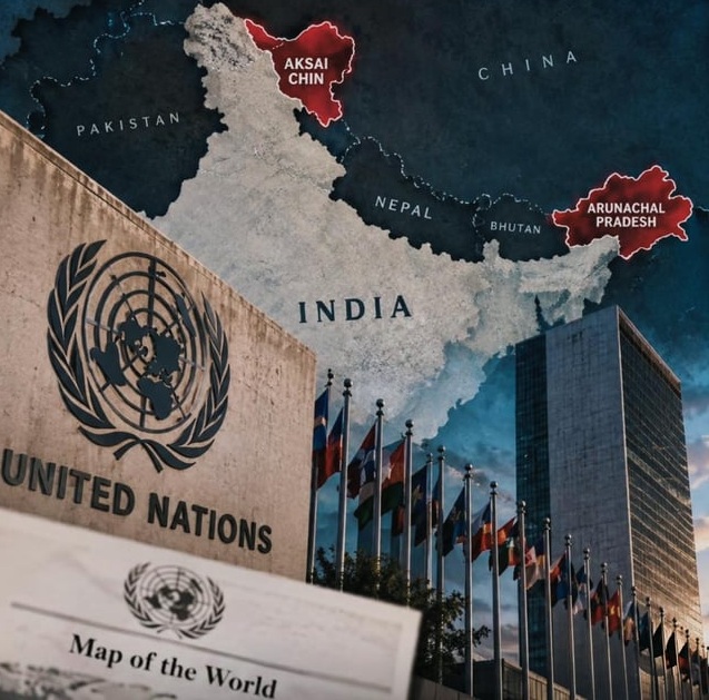
The controversy erupted after a UN map reportedly showed Arunachal Pradesh as a separate region between Indian and Chinese territorial claims
 KRC TIMES NE Desk
ITANAGAR | Arunachal Pradesh Chief Minister Pema Khandu has strongly condemned a recently published United Nations map that depicts Arunachal Pradesh separately from India, asserting that the state is an “integral and inseparable” part of the country. Reacting to the map, Khandu said he condemned the depiction on behalf of the people of Arunachal Pradesh and reiterated the state’s territorial status within India.
The controversy erupted after a UN map reportedly showed Arunachal Pradesh as a separate region between Indian and Chinese territorial claims. The map also depicted Aksai Chin separately and appeared to alter Arunachal Pradesh’s border with Nagaland. India has raised the issue with the concerned UN authorities, flagging what it described as “anomalies” in the cartographic representation.
The Centre has also clarified that India’s support for a UN General Assembly resolution seeking more accurate and equitable representation on maps should not be construed as approval of any particular map. Ministry of External Affairs spokesperson Randhir Jaiswal said India had taken up the discrepancies with the concerned authorities. The map was reportedly first published on July 1 and showed Arunachal Pradesh as a separate entity bordering Assam and China, while removing its boundary with Nagaland.
It also depicted Aksai Chin as a separate region.The UN has not publicly clarified the changes highlighted in the report. Khandu’s remarks come amid renewed scrutiny over the depiction of Arunachal Pradesh on international maps and India’s longstanding position that the northeastern state is an integral part of the country.