Jiribam: A Town Shaped by Rivers, Borders, History
Jiribam sits at the edge of Manipur, geographically and historically. It is the state’s westernmost town, touching Assam, shaped as much by rivers and borders as by politics and migration. To people in Manipur, it is often called the western gate. That description is not poetic license. It is literal.
The town lies in a narrow valley carved by the Jiri River, close to where it meets the Barak. The river does more than define the landscape. It defines jurisdiction. Only the eastern bank belongs to Manipur and forms Jiribam town.
The western bank, just across the water, is Jirighat in Assam’s Cachar district. Two towns face each other across a river, sharing history, trade, and daily movement, yet governed by different states. That border reality shapes everyday life in Jiribam in ways maps rarely capture.
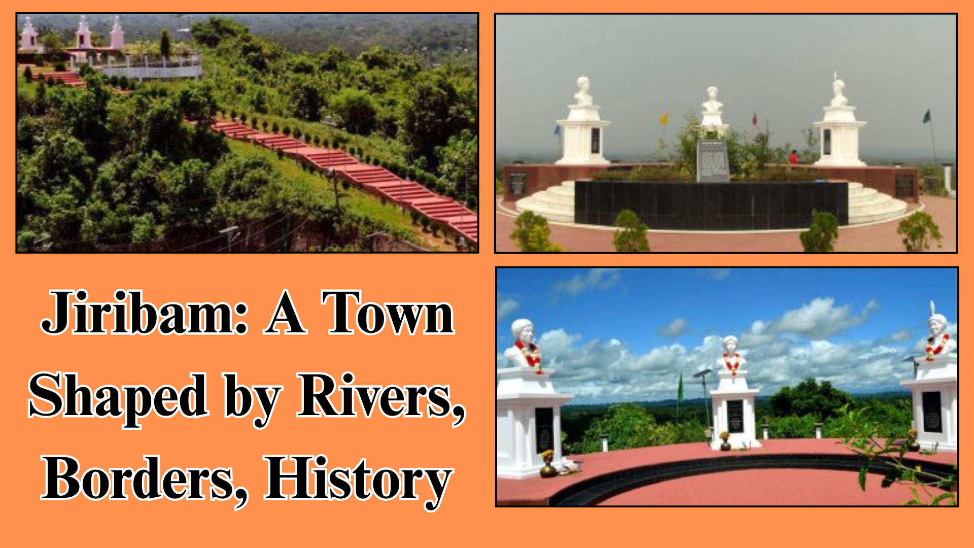
Physically, Jiribam feels different from the rest of Manipur. Unlike the central Imphal Valley or the surrounding hill districts, it is a low-lying, river-fed settlement with fertile land. This geography explains why it became one of the fastest-growing towns in the state. Agriculture came first, then trade, transport, and administration. Growth followed the river.
In the early nineteenth century, the Jiribam valley was part of the Cachar kingdom. The political shift came in 1832, when the British annexed Cachar and later reached an agreement with Raja Gambhir Singh of Manipur.
The deal redrew boundaries. Territory between the eastern stretch of the Barak and the Jiri River went to Manipur, while the rest stayed with Cachar, which later became part of Assam. A line on paper split a valley that had not yet fully formed a population.
At that time, the valley was mostly forest. There were no villages to speak of, only a ferry point at Jirighat on the Cachar side. Travelers moving between Silchar and Manipur relied on this crossing. The road itself was known simply as the Cachar Road. Jiribam, as a settled space, did not yet exist.
That changed in the early twentieth century. In 1907, the Manipur state government opened the valley for agricultural settlement. By 1911, more than fourteen thousand bighas of land had been settled. Rice became the primary crop, supported by sugarcane cultivation. In areas unsuitable for paddy, betel leaf thrived. Agriculture did not just feed families. It anchored people to the land and turned forest into village.
By 1931, Jiribam had grown into a cluster of forty-six villages. Its population reflected the valley’s border character. Meitei Hindus and Muslims lived alongside Bengali Hindus and Muslims, with smaller numbers of Kuki and Kabui communities.
This diversity was not accidental. Most settlers came from Cachar rather than the Imphal Valley. As a result, many residents were treated as British subjects instead of Manipur state subjects. Administrative matters, from land revenue to dispute resolution, were handled by the British Political Agent. Jiribam, even then, sat in an administrative grey zone.
Education arrived early. By 1931, Jiribam had five primary schools, matching the number found in the Imphal Valley outside the capital. For a frontier settlement, that mattered. It signaled permanence. People were not just farming here. They were raising families and planning futures.
After India’s independence, Jiribam’s political identity shifted again. Manipur elected its own legislative assembly under a separate constitution, and Jiribam was grouped with the hill areas for representation. Soon after, Manipur merged into India and became a union territory.
Administrative divisions followed. Jiribam emerged as a subdivision, stretching far beyond the town itself, covering the Vangai range and reaching south to Tipaimukh. It was officially classified as a hill subdivision, even though parts of it did not fit that description on the ground.
Reorganization came in stages. In 1969, Manipur was divided into five districts. The southern part of Jiribam subdivision became Tipaimukh, now part of Pherzawl district. The northern part was attached to what was then Manipur Central district, headquartered in Imphal.
This change reclassified Jiribam as part of the valley area rather than the hills. To correct the mismatch, the eastern Vangai range was transferred out. Over time, Jiribam found itself attached to Imphal East district.
The final administrative shift came in 2016, when Jiribam subdivision was declared a full-fledged district. For residents, this was not just a bureaucratic upgrade. It meant local governance, focused administration, and recognition of Jiribam’s distinct identity within Manipur.
Politics in Jiribam has also reflected its social composition. In 2017, Md Ashab Uddin became the first member of the Bengali minority community to win a Manipur Legislative Assembly election from Jiribam. The victory carried symbolic weight. It acknowledged the town’s demographic reality and its long history of migration and settlement.
Today, Jiribam stands as a place shaped by borders rather than confined by them. Its rivers connect it to Assam. Its people connect it to multiple cultures. Its history shows how geography, colonial decisions, and administrative reshuffling can shape a town’s character over generations.
Jiribam is not just a peripheral town at the edge of Manipur. It is a reminder that borders are lived spaces. They are negotiated daily through language, trade, farming, education, and politics. Jiribam grew because people crossed rivers, cleared forests, and stayed. That is what turned a ferry point into a town, and a border valley into one of Manipur’s fastest-growing districts.
Promotional | North East Integration Rally