

The Congress leader’s comments come amid continued scrutiny of flood forecasting, early warning dissemination and disaster preparedness mechanisms in Assam
 KRC TIMES Assam Bureau

Guwahati | Congress MP Gaurav Gogoi on Friday questioned the effectiveness of Assam’s flood warning and disaster response system after the Centre informed Parliament that the Indian Space Research Organisation (ISRO) provides near real-time flood monitoring for the Brahmaputra basin, with inundation maps reaching the Assam State Disaster Management Authority (ASDMA) within five to six hours of satellite data acquisition.
The issue was raised following a written reply by the Department of Space to an unstarred question submitted by Gogoi in the Lok Sabha on August 5.
In its response, the Centre said ISRO disseminates satellite-based flood inundation maps and value-added products to disaster management authorities within five to six hours of acquiring satellite data. The monitoring covers the Brahmaputra basin through a Near Real-Time (NRT) flood monitoring system.
According to the reply, ISRO supplied 45 flood inundation maps and value-added products to ASDMA during the 2025 monsoon season. During the ongoing 2026 monsoon season, 33 such products had been shared with the state disaster management authority up to July 28.

The flood maps are generated using data from EOS-04 (RISAT-1A), Resourcesat-2/2A, Cartosat-2E and Cartosat-3 satellites. The products are disseminated through the National Database for Emergency Management (NDEM), the Bhuvan platform and directly to ASDMA.
The Centre also informed Parliament that ISRO has strengthened its flood monitoring capabilities through semi-automated flood mapping workflows, district-level flood reports and high-resolution satellite imagery for damage assessment, subject to the availability of cloud-free satellite data.
Reacting to the government’s reply, Gogoi questioned why the availability of near real-time flood data had not translated into timely warnings and preparedness for districts affected by the July 19 flash floods.
“The Government has confirmed, in response to my question, that ISRO provides near-real-time flood monitoring for the Brahmaputra basin, with flood data reaching ASDMA within 5-6 hours. Yet, the District Commissioner of Sivasagar has stated that the district had barely three hours to respond to the flash floods of July 19, with no prior warning issued. The Government must explain why available flood monitoring data did not result in timely alerts and preparedness on the ground,” Gogoi said in a post on X.
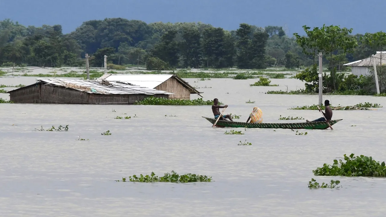
His remarks refer to the flash floods that hit parts of Upper Assam on July 19, affecting districts including Sivasagar, Jorhat, Golaghat and Charaideo and causing widespread damage to infrastructure, agriculture and residential areas.
The Congress leader’s comments come amid continued scrutiny of flood forecasting, early warning dissemination and disaster preparedness mechanisms in Assam, where authorities have increasingly relied on satellite-based monitoring and technological interventions to improve flood response.